June 10th: Trails have snow coverage or patches at high elevations, and a bare at low elevations, with muddy sections. Warmer weather has dried out some of the trails at lower elevations. Higher elevations will still have snow, especially on north facing aspects, and more could accumulate with the upcoming rain forecasted.
Always come prepared for a variety of conditions, that can change suddenly throughout the day. You may want to consider bringing hiking poles, micro spikes, toques, gloves and multiple layers.
Be aware of closures in the area and check advisories before you go.
Closures:
Notes:
| Trail Name | Permitted Activities (Legend) | Length | Status | Keywords |
|---|---|---|---|---|
|
Buller Pass
Due to activities associated with G7 June 3rd: Downed trees removed. Snow patches at high elevations. |
 Hiking
|
7.5 km one-way to the pass; 9 km one way to Guinn's Pass junction, 10.1 km to Ribbon Lake Campground. | Closed | |
|
Burstall Pass
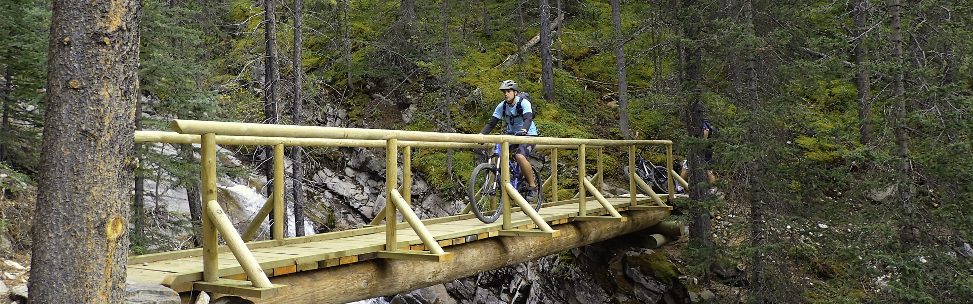
June 5th: The lower portion of trail is snow free with snow patches becoming progressively deeper with elevation, with the some completely snow bound sections near border. Note: Bikes permitted on first 2.9 km of trail ONLY. |
 Biking/Cycling
Hiking
Biking/Cycling
Hiking
|
7.4 km one-way | Open | |
|
Chester Lake
June 5th: Snow free. Downed trees removed. Chester Lake: Annual closure in place for Chester Lake until Jun 29 to allow area to dry and prevent damage to trail. |
Biking/Cycling
Hiking
|
4.6 km one-way | Closed | |
|
High Rockies
June 9th: Snow free with some muddy sections. Downed trees removed. Partial closure due to activities associated with G7 Note: Hiker-cyclist camping allowed at select day use areas only from Jun 1 - Sep 20. See details.
|
Biking/Cycling
Hiking
|
63.0 km Goat Creek to Peninsula Day Use; 80.0 km Goat Creek to Elk Pass | Partially Closed | |
|
Karst Spring
May 26th: Snow covered. Snow free, downed trees removed. |
Hiking
|
0.8 km one-way | Open | |
| Peninsula |
Hiking
|
0.4 km | Open | |
|
Rummel Lake
Due to activities associated with G7 Warning: Trail is not maintained for summer use. Signage may not be up to date and hazards may exist along the trail.
|
Hiking
|
Closed | ||
|
Spray Road West
Partial closure due to activities associated with G7 |
Biking/Cycling
Hiking
 Horseback Riding
|
10.8 km one-way | Open | |
| Watridge Lake |
Biking/Cycling
Hiking
Horseback Riding
|
3.7 km one-way | Open |